
Parkland Neighbors by Public Source
Official sources describe the setting around a Parkland address in different ways. PublicGIS maps parcels and civic layers. ATIP provides property facts attached to a parcel. Planning pages define public processes and geographic areas. Community organizations publish their own service contacts. None is an official list of everyone on a block.
| Source | What It Shows About a Block | Access |
|---|---|---|
| Pierce PublicGIS | Parcel shapes, roads, boundaries, utilities, public safety, and public places | Free interactive map |
| Assessor-Treasurer Information Portal | Parcel, site address, owner, mailing, valuation, and sales facts | Free online search |
| PSM planning records | Community-plan boundaries and land-use proposals | County pages and meetings |
| Community organizations | Public contacts, services, meetings, and projects | Organization sites |
| Historical collections | Dated block context through maps, directories, and archives | Library or archive access |
The owner shown in a tax record may live elsewhere. Pierce County defines Site_Address as the physical parcel location and Delivery_Address as the taxpayer's mailing address. Keep both labels intact. A person connected to a deed, permit, or voter record has a role in that source, but the record does not prove the full household or current occupancy.
Map Parkland Neighboring Parcels
Use the Pierce County GIS applications page to reach PublicGIS. Search the known address or parcel, center the map, and inspect only the immediately adjoining shapes. Useful layer groups include Parcel, Political Boundaries, Transportation, Utilities, Places of Interest, and Public Safety.
Parcel lines are not always fences or final legal boundaries. Compare a mapped line with a recorded plat, easement, or boundary-line adjustment when that distinction matters. Save the map date and the active layers. Dynamic maps change, and a screen capture without those details can be hard to interpret later.
- Parcel
- A county-mapped unit of land identified by a 10-digit Pierce County parcel number.
- Site address
- The physical location attached to the parcel.
- Delivery address
- The taxpayer mailing address, which may be somewhere else.
- Easement
- A recorded right to use part of land for a stated purpose, such as access or utilities.
Parkland Block Context, Not Profiles
A safe neighbors lookup records public geography instead of building private profiles. Mark roads, rights-of-way, schools, parks, utilities, landmarks, and public facilities. Add the Parkland-Spanaway-Midland planning boundary for county context. Do not publish a row of private owner names merely because the assessor or map makes them visible.
The parcel number is a better research key than a person's name. It lets a reader compare the same piece of land across GIS, assessor, recorded plat, and permit records without claiming that a named person lives there. Where an ownership fact is relevant, give its source date and label it as ownership only.
Process flow. Exact address → PublicGIS parcel → adjoining parcel shapes → civic layers → recorded plat or easement → public community context.
Walk a Parkland Block Map
Begin with one verified address, then move one parcel at a time. The aim is to define the immediate block and its public setting. For a whole named street and its record chain, use the Parkland street directory instead.
- Normalize the postal address, then locate it in PublicGIS or the Assessor-Treasurer Information Portal.
- Record the 10-digit parcel number, site address, map date, and active layers. Keep delivery and site addresses separate.
- Click each adjoining shape to note parcel boundaries and public land features. Do not convert an owner field into a resident list.
- Check the recorded plat or easement if a line, access route, or utility corridor needs formal confirmation.
ATIP and PublicGIS serve different roles. ATIP is the property-information search; PublicGIS supplies map relationships and layers. Use the parcel number to move between them. If the address fails, try the exact street string, confirm the ZIP, and account for Parkland records that may use Tacoma as the mailing city.
Parkland Neighbor Community Network
Parkland's public community layer is richer than a roster of names. Official and organization sources identify groups that hold open meetings, connect services, preserve local places, and take part in county planning. Their pages are contact routes, not proof of membership or residence.
Parkland Community Association
Community and historic-school preservation work is described on the historic Parkland school project page.
Trinity Lutheran Partners
Trinity's community partners include Pierce County Library and the Garfield Business Association.
PSM Advisory Commission
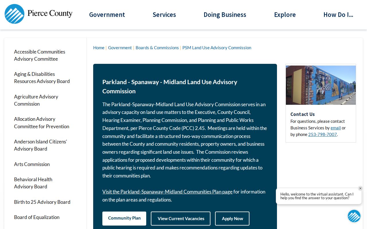
The county land-use commission is a public advisory route for Parkland-Spanaway-Midland.
The county commission page shows how residents can follow land-use matters without relying on private association lists. Open the current PSM commission page for meeting material.
Parkland Safety Links for Neighbors
A county community update published in August 2026 reports that Parkland Safe Streets meets at Trinity Lutheran on the first Tuesday of each month. It also points residents to planned PC-NET training, Pierce County Code Enforcement at 253-798-4636, and PC Alert, which can monitor up to five addresses.
These services help Parkland neighbors share public safety information and receive notices. They are not resident-search systems. A code case documents an agency process or allegation, not fault by a person at the address. An alert subscription shows only that someone chose to monitor a place.
Note: Recheck dates and meeting details on the current county or organization page before attending or sharing them.
Parkland Neighbors Share Boundaries
Parkland is a community and census-designated place within unincorporated Pierce County, not an incorporated city with its own resident database. Public systems may label the same area by parcel site address, postal city, ZIP, precinct, school district, or Parkland-Spanaway-Midland planning area. Each boundary answers a different question.
The Parkland-Spanaway-Midland Community Plan is the best county source for urban, suburban, and semi-rural context. It also explains Parkland's growth around Pacific Lutheran University. Do not use a USPS label or census polygon as proof that every nearby parcel sits in the same civic district.
Official Parkland Neighbor Tools
Commercial neighbor-search tools often combine old addresses, phone data, and inferred household links. Official sources are narrower, but their labels, dates, and correction routes are clearer. Use the category comparison below before treating any match as fact.
| Source type | Strength | Limit |
|---|---|---|
| County GIS and assessor | Parcel keys, mapped context, sourced property fields | Ownership is not occupancy |
| Planning and community pages | Public boundaries, meetings, organizations, and services | No household roster |
| Commercial search category | May collect broad name and address leads | Unknown refresh dates, inferred links, and weak correction paths |
Prefer the narrow official fact. If a county field is wrong, contact the county office that maintains it. No outside removal process can change the source record.
Privacy for Parkland Neighbors
Public parcel data does not reveal every occupant, family member, or visitor. Private utility accounts and delivery records are not public neighbor directories. Washington voter information is governed by election law, with confidential fields and strict use limits. It should not be republished as a block roster.
The Washington Address Confidentiality Program supplies qualified participants with a substitute address and mail forwarding. The actual residence is confidential. Never try to locate a protected person by combining parcel, voter, court, school, or utility clues. A substitute address must remain labeled as such.
Collect only what the civic or property question requires. Public landmarks, right-of-way, planning cases, and organization contacts can explain a Parkland block without exposing private people. When a source is suppressed or redacted, respect that boundary and do not guess.
Lawful use. Research about Parkland neighbors must stay personal, civic, and lawful. Never use it to watch, harass, intimidate, or harm another person.