
Walk a Parkland Street by Address
A reliable Parkland street directory search starts with the address, not a person. Parkland is an unincorporated Pierce County community, so the postal city, county planning area, census place, and record jurisdiction do not always use the same label. Write down the street as supplied, the ZIP code, and the date tied to the question. Then normalize the mailing form and locate the county parcel before reading any name as proof of residence.
The county parcel number is the steady link between maps, tax data, recorded plats, and many permits. Names change more often. Use this sequence to move from a street string to evidence while keeping owner and occupant roles distinct.
- Check the address with the USPS ZIP Code Lookup. Preserve both the submitted form and the standardized postal result.
- Find the physical site in Pierce County ATIP. Record the parcel number, site address, delivery address, and legal description.
- Open PublicGIS and inspect the parcel line, road, right-of-way, and nearby public features. A mapped line is not always a fence or surveyed boundary.
- Use the Pierce County Auditor index to follow deeds, plats, easements, and boundary adjustments. Match the legal description and recording data, not just a common surname.
- Check permits and historic sources for dated evidence of use. Never treat a permit applicant or taxpayer mailing address as automatic proof of occupancy.
This address-first method makes the street directory useful for family history, a parcel timeline, or checking a seller's property claim. It also exposes conflicts early. If USPS accepts a Tacoma mailing label while county planning treats the parcel as Parkland, both facts can be true.
Read Parkland Parcel Language
Pierce County uses ten-digit parcel numbers. For unplatted land, digits may encode range, township, section, quarter, and lot. Platted parcels use a plat number plus the lot. The county parcel information page recommends the parcel number as the best search key because street spelling and house-number quality can vary.
- Parcel
- A county tax and map unit identified by a ten-digit number.
- Situs or site address
- The physical location assigned to the parcel.
- Delivery address
- The taxpayer's mailing address, which may be somewhere else.
- Plat
- A recorded map that divides land into lots, roads, and other areas.
- Criss-cross directory
- A directory arranged by address or phone number rather than only by surname.
A site number shown as “XXX” means the number has not been verified. Multiple site addresses can also occur on one parcel. These details matter when a Parkland street search seems to return no result.
Note: Keep the ten-digit parcel number with every Parkland address note because it survives many spelling, mailing, and street-label changes.
Search Parkland Streets in ATIP
The Pierce County Assessor-Treasurer Information Portal covers roughly 350,000 properties and supports parcel, address, owner, and sales-oriented research. For a street directory task, begin broadly with the street number and street name. Confirm the resulting site address, then shift to the parcel number for later checks. Owner and taxpayer fields describe the tax record, not every person at the site.
| Search key | Best use | Reading caution |
|---|---|---|
| Parcel number | Exact property match | Use all ten digits |
| Site address | Physical street location | May include an unverified number |
| Owner name | Find parcels tied to a tax-roll name | Ownership is not occupancy |
| Delivery address | Taxpayer correspondence | May differ from the site |
| Sales search | Compare dated property transfers | Confirm against recorded instruments |
ATIP is the start, not a title report. The county warns that parcel-linked recorded documents may omit records indexed through other names or systems. For a formal ownership issue, consult the actual recorded documents and the proper professional.
Map Parkland Street Records
PublicGIS supplies the geographic half of the Parkland street directory. Its layer groups include parcels, political boundaries, transportation, utilities, places of interest, and public safety. Search the address or parcel, set only the layers needed, and note the map date. The map can place a parcel beside a road or public facility, but it cannot prove who occupies it.
The Pierce GIS applications page also points to Info by Address, About My Property, Open Data, and related tools. Those routes help when the main viewer is slow or when a researcher needs a layer description instead of a visual map. Compare parcel geometry with a recorded plat or easement before treating a drawn edge as a legal boundary.
For a whole street, advance parcel by parcel and record only public facts relevant to the task. Do not turn the adjacent parcel view into a list of private people. The broader block and community context belongs in the Parkland neighbors lookup, while the street directory stays focused on the named street.
Parkland Records Indexed by Address
No single roll is a complete Parkland street directory. Each record set describes a role at a point in time. The table shows the best official keeper, what can be learned, and the main limit.
| Address source | Official keeper | Useful evidence | Access route |
|---|---|---|---|
| Property and tax roll | Pierce Assessor-Treasurer | Parcel, owner, site and mailing address, value, sales | ATIP or office counter |
| Parcel map | Pierce County GIS | Geometry, roads, layers, public features | PublicGIS and county GIS tools |
| Deeds and plats | Pierce County Auditor | Parties, instrument, legal description, recorded date | Online indexes, images, mail or counter |
| Permits and cases | Pierce County Planning and Public Works | Application, site, status, documents, inspections | PALS portal or records request |
| Older directories and maps | Tacoma Public Library and archives | Dated occupants, old address labels, building form | Catalog, research visit, or staff help |
A strong address claim uses two or more independent sources. A deed establishes a recorded interest. A permit shows who filed in connection with work. A directory lists a household for its publication cycle. None alone proves continuous residence.
Follow Parkland Streets into Deeds
The Pierce County Auditor recorded-documents page is the official route for real-estate instruments. Search can run by recording number, party name, or date, while the separate real-estate and historical index routes may expose different eras. Capture the instrument number and legal description at each step. Those identifiers are safer than relying on a name alone.
The live Pierce real-estate index shows the actual search surface used for deeds and related instruments.
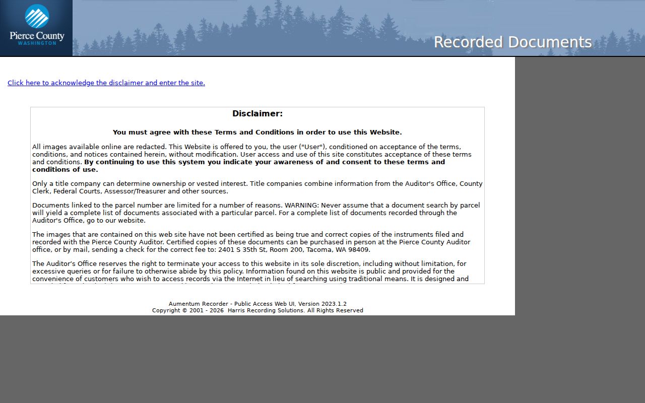
The search image belongs beside the legal-description workflow because it shows where a street result becomes a document trail. Online images may be redacted and are not certified copies. The Auditor provides certified-copy and in-person routes when legal proof is required.
Check Parkland Permits by Street
Pierce County PALS lets users search permits and development records by site address or parcel and review status, documents, and inspections where available. It can date an addition, repair, land-use case, or other change that helps explain a property timeline. A permit contact may be an applicant, contractor, consultant, or owner. It is not proof that the named person lived there.
If the online record is incomplete, use Pierce County's public-record request route. The Washington Public Records Act, chapter 42.56 RCW, governs county agency requests, but court records follow separate rules. Describe the parcel, address, date range, and sought record type so staff can identify the material without being asked to research a broad question.
Note: Record a permit's status and date because an application, an issued permit, a final inspection, and a completed project are different events.
Build a Parkland Street Matrix
A dated matrix is the safest way to compare several addresses on the same Parkland road. Give each row one source event, not one person. Use columns for source date, access date, address exactly as shown, normalized address, parcel number, named role, document identifier, and confidence. The named role may be owner, taxpayer, grantor, grantee, permit applicant, or directory householder. Keeping the role visible stops a tax-roll owner from becoming an unsupported current occupant.
Address normalization deserves its own field. USPS offers By Address, By City and State, and Cities by ZIP modes. Core Parkland ZIP codes include 98444 and 98445, while official postal material also ties 98446 to the Parkland scheme and identifies 98448 as a PO-box change affecting part of the former 98444 and 98445 area. A ZIP result is a delivery fact. USPS specifically warns that it does not confirm a person or business at the address.
Sort the completed matrix first by parcel, then by date. That reveals a street-number change, parcel split, or mailing-label shift without forcing records into a false match. If two parcels share a site-address pattern, compare their legal descriptions and plats. If one parcel has several site addresses, record each separately. For an unresolved conflict, state what differs and retain both citations.
| Matrix field | What to record |
|---|---|
| Identity key | Ten-digit parcel, plat and lot, or instrument number |
| Address evidence | Exact printed form plus a separately labeled postal normalization |
| Person's role | Owner, taxpayer, deed party, permit contact, or listed householder |
| Time marker | Record event date, publication year, and date accessed |
| Confidence | Direct match, supported inference, or unresolved conflict |
For public-record material unavailable through a portal, Pierce County accepts requests under chapter 42.56 RCW and generally gives an initial response within five business days. That response may provide records, an estimate, a clarification request, or a cited exemption. Ask for a defined record set, not an answer to “who lives on this street.” Staff locate existing records; they do not create a new resident roll.
The street directory matrix also makes source quality easy to audit. An official parcel record is direct evidence of the county's tax entry on its access date. A map overlay is geographic context. A directory listing shows that a publisher associated a named householder with the printed address for that edition. Mark each record by type. When a claim depends on two records, cite both and state the link, such as a shared parcel number or legal description.
Do not erase a conflict to make the table look neat. A stale delivery address, a recently recorded deed, and an older permit can all be accurate for different dates and roles. The sound conclusion is narrow: what each public record reported, when it reported it, and how closely its property identifier matches the Parkland parcel under study.
Old Parkland Streets Need Context
Modern Parkland grew from rural and agricultural settlement around an 1888 rail link, the 1890 Parkland and Brookdale plats, and Pacific Lutheran University. Older records may use Tacoma, Parkland, Spanaway, Fern Hill, Brookdale, or a rural route. Preserve the wording printed in the source. A modern equivalent should be labeled as an inference, not silently substituted.
The Tacoma Public Library building-history guide recommends city directories, maps, newspapers, property records, and Sanborn fire-insurance maps. Its catalog has leads for Tacoma-area Sanborn volumes dated 1885 or 1888, 1896, and 1912. Coverage must be checked for the exact Parkland site. A missing map sheet does not mean a building or household did not exist.
The library's Sanborn catalog results show the map leads available for deeper street research.
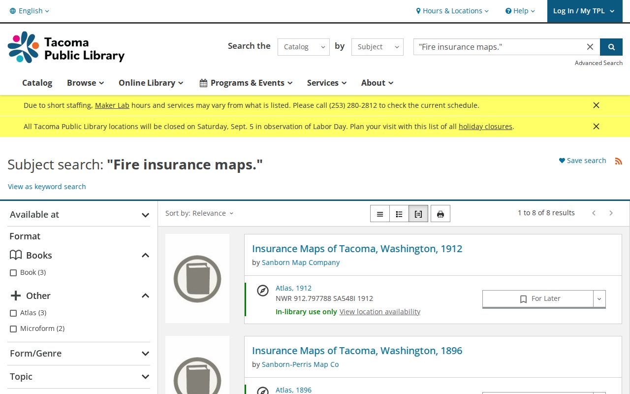
These volumes add building footprints and historic street context to the dated record matrix. They should be paired with a deed, directory, or parcel record rather than read as a resident list.
Limits of a Parkland Street Directory
A street directory cannot produce a complete, current household roll. ATIP reports ownership and taxpayer data. PublicGIS maps land and public layers. The Auditor indexes recorded interests. Permits describe regulated work. Historic directories are snapshots created for a publication year. Renters, relatives, guests, and people using protected addresses may not appear in any of them.
Washington's Address Confidentiality Program provides substitute addresses and mail forwarding for eligible people facing safety risks. Never use mismatched public sources to uncover a protected location. Voter data also has statutory limits, and a public voter field should not be republished as a live street roster.
Lawful use. Use Parkland address records for legitimate personal, historical, property, or civic research. Washington law prohibits stalking and harassment, including harmful location tracking.
When the question shifts from a whole street to an older household, the Parkland previous residents search follows one parcel backward. Keep the claim narrow: “listed owner on a dated tax record” is supported, while “everyone who lives here” is not.